Mapping Solutions publishes a wide range of products specializing in identification and location of landowners and roads, and many other features.
Publishing only the most recent and accurate information available, every product is the result of intensive research, development, production and editing.
Don’t see what you need, check out our custom map options.
Our core list of currently available products includes:
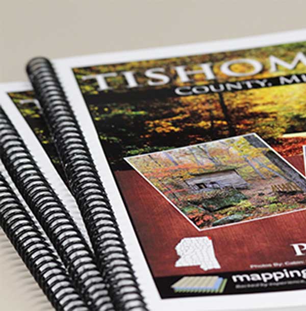
Plat Books
Our core product, providing detailed landowner maps by township, identifying property boundaries, roadways and other specialized maps unique to each county.
View More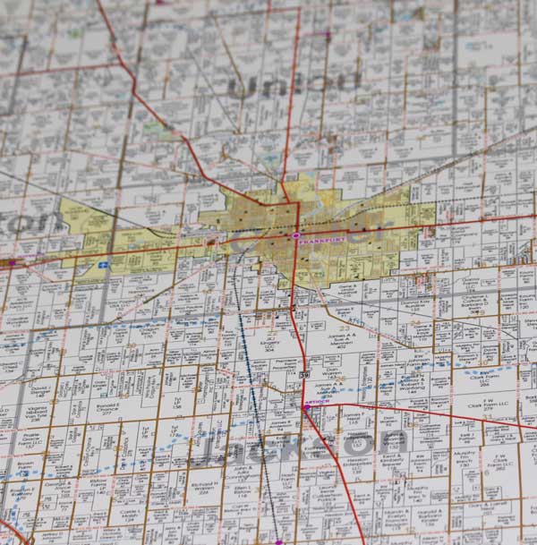
Wall Maps
Collaborate and see the bigger picture with detailed, large scale maps identifying landowners, roadways and other boundaries for an entire county, or other defined area.
View More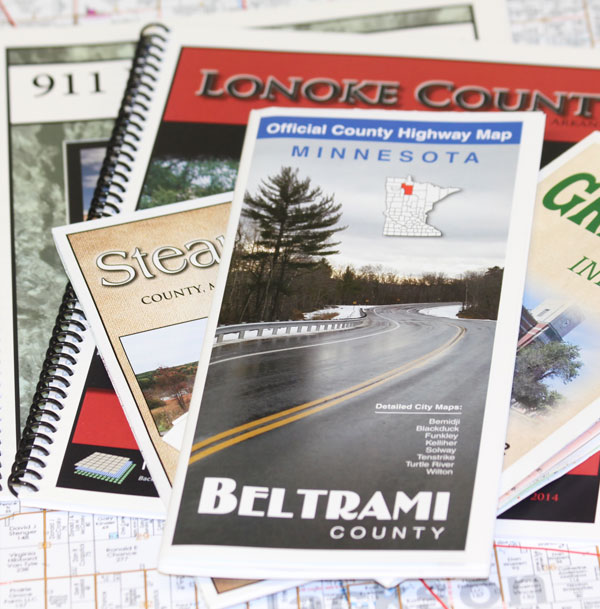
911 Folded Maps or Books
Available in book format or wall/folded format, these maps provide intricate detail of all known Federal, State, County, and private roadways within a specified extent.
View More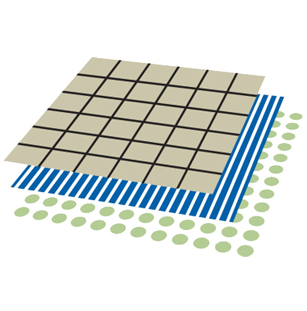
Digital Products
Electronic versions of our products are also available for use on your phone, tablet or smartphone. GIS parcel files are layered files designed for professional use.
View More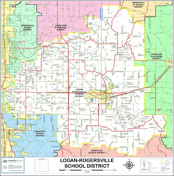
Custom Maps
Maps customized for a special purpose. Aerial, topographical, districts, boundaries or other features, you decide. A map with just the information you need.
Free Quote View Custom Maps
GeoSpatial Solutions
Starting a new program or need assistance maximizing return on an existing system? As a full-service GIS solutions provider, specializing in custom platform development, we provide ongoing support and an array of services for any platform, delivering results you can count on!
View More