Fulton County Ohio 2027 Plat Book
Write a Review
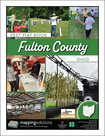
Fulton County Ohio 2027 Plat Book
- Availability:
- Ships within 24hrs.
This Fulton County Ohio Plat Book contains:
Landowner maps that concentrate on rural landownership with detailed acreage information, parcel boundaries and section lines. Each map includes highways, roads, waterways, railways and municipal boundaries.
Specialty maps include Fulton County Road Map & Watersheds Map.
Municipal Maps of: Archbold, Delta, Fayette, Lyons, Metamora, Pettisville, Swanton & Wauseon
Road Index that makes for easy identification of roads throughout the county.
Landowner Index that allows for easy identification of rural landowners in Fulton County Ohio.
Full color printing, spiral-bound, 8 1/2 x 11, 72 pages
We would like to say THANK YOU to the advertisers who participated to make this publication possible.
Please support these local businesses.
Andres O’Neil & Lowe Insurance Agency
Bank 419
Baughman Tile Co.
Countryside Farm Drainage LLC
DGL Consulting Engineers, LLC
Eric Barnes Insurance
Frey & Sons Auctioneers-Realtors
Fulton County Economic Development Corp
Jones Crop Insurance
Siefker Real Estate & Auction Co.
Snyder-Timpe Sales & Service LLC
Title Assurance Group, Ltd
Tri-County Repair
Wagner Farm Drainage
Wieland Surveying & Engineering, LLC
Need more information or help finding the right product? Give us a call 816.903.3500 and we will be glad to assist you.