Preble County Ohio 2027 Plat Book
Write a Review
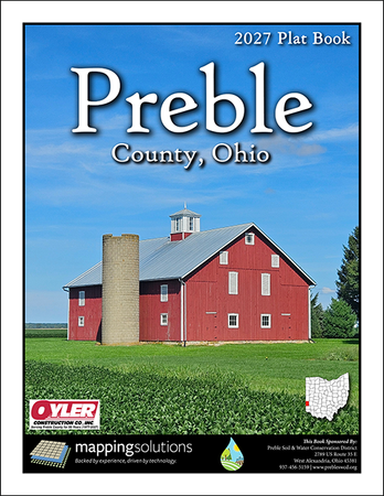
Preble County Ohio 2027 Plat Book
- Availability:
- Ships within 24hrs.
Landowner maps that concentrate on rural landownership with detailed acreage information, parcel boundaries and section lines. Each map includes highways, roads, waterways, railways and municipal boundaries.
Special Tri-Folded Edition featuring aerial imagery from 1949!
Specialty maps include Preble County Road Map & Watersheds Map
3D LiDAR Aerial Maps facing the landowner map pages. The aerial maps are enhanced using elevation data from the USGS's National Elevation Dataset (NED), creating a 3D effect showing the actual topography of the land.
Municipal maps of: Camden, Eaton, Eldorado, Lewisburg, New Paris, Verona, West Alexandria, West Elkton & West Manchester
Road Index that makes for easy identification of roads throughout the county.
Landowner Index that allows for easy identification of rural landowners in Preble County Ohio.
Full color printing, spiral-bound, 8 1/2 x 11, 142 pages.
We would like to say THANK YOU to the advertisers who participated to make this publication possible.
Please support these local businesses.
A. Brown & Sons Nursery Inc.
Back 40 Lumber
Bales Funeral Home
Barrett Paving Materials, Inc.
Bleill Excavating & Farm Drainage
Bowman Ag Services
Country Mile Realtors
Dull Homestead, Inc.
Farm Credit Mid-America
Flaig Lumber
Halderman Real Estate & Farm Management
John G. Landis Farm
Jordan Agency
La-Lyn
Merchants Bank of Indiana
Nutrien Ag Solutions
Oyler Construction Co., Inc.
Preble County, Ohio Farm Bureau
Preble Memory Gardens
RRF LLC
Spring Creek Corp
Suncrest Ag, LLC
Taylor Construction
The Twin Valley Bank
Walnut Harvest Auctions LLC
Wright & Moore Law
Need more information or help finding the right product? Give us a call 816.903.3500 and we will be glad to assist you.